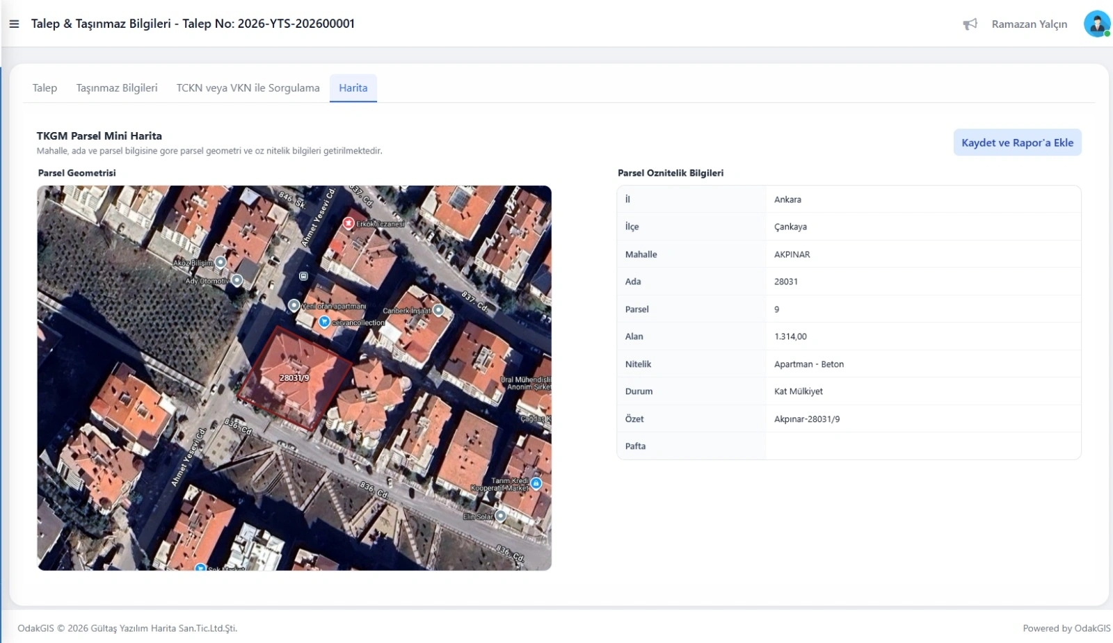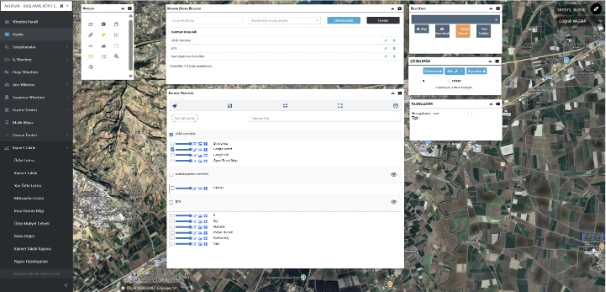

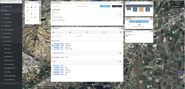
Map and GIS Analysis Screen
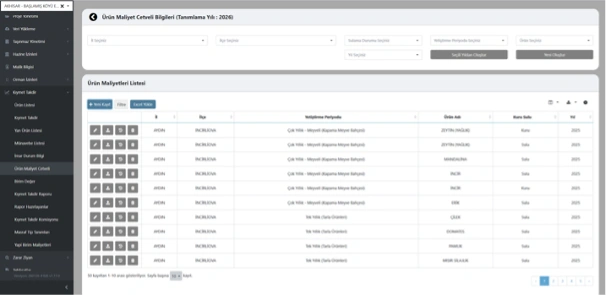
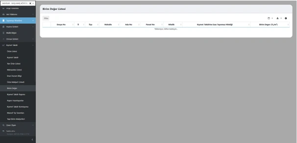
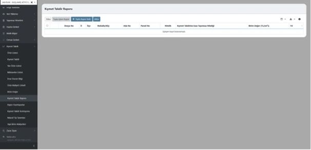
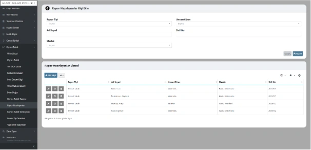
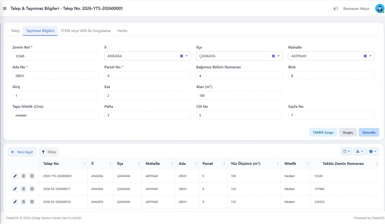
Parcels, valuation records, and spatial layers are displayed, queried, and analyzed on the map. Layer management, parcel-based querying, filtering by price range, heat map generation, and spatial monitoring of value appreciation charts are provided. In institutions with Land Registry and Cadastre Information System integration, data is pulled automatically; in setups without integration, manual data entry is supported.